Comparing Aerial Property Inspections and Scattered Photo Collections
Property managers and facility teams have long relied on scattered collections of photos to document building conditions. A roof photo here, a facade shot there, a close-up of a maintenance issue from last month. These images live on phones, email threads, or shared drives, and locating the right one often means scrolling through folders with inconsistent naming. As properties grow or age, this approach becomes harder to manage.
Aerial property drone inspections offer a different way. Instead of a loose set of images taken from ground level, drone flights capture a complete overhead view of a site. The result is a structured set of visual data that can be organized, compared over time, and tied to specific inspection dates and locations on a site map. For anyone responsible for facility condition across multiple buildings, the difference is not just about image quality but about how easily the data can be used.
The Challenge of Scattered Inspection Photos
When inspection photos are gathered manually, consistency suffers. One person might take close-ups of gutters while another focuses on the roof membrane. The angle, lighting, and resolution vary each time. If an issue appears after a storm, finding the right before-and-after shot can take longer than the repair itself. Photos stored without a clear naming convention or location tag are hard to connect to a specific inspection date or area of the property.
Scattered photos also make it difficult to track changes over time. A property manager might notice a stain on a ceiling and want to see what the roof looked like six months ago. If the earlier photos were taken from a different angle or at a different time of day, comparing them is unreliable. The lack of a consistent reference point means small signs of wear can go unnoticed until they become bigger problems.
Another limitation is the inability to see the whole picture at once. A photo of a single downspout tells you nothing about the rest of the roof. To assess overall facility condition, you need a view that connects each element to its surroundings. Without that context, maintenance decisions are based on incomplete information.
How Aerial Drone Inspections Provide Structure
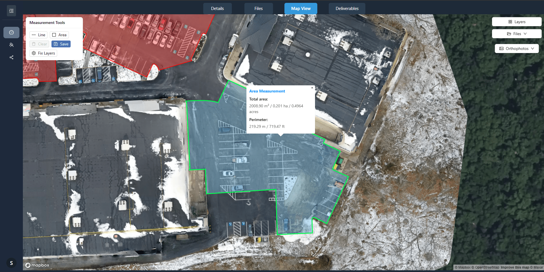
Property drone inspections change the workflow by capturing a comprehensive aerial view in a single flight. The images are geotagged and stitched into a site map that shows the entire property in one frame. This means every gutter, skylight, HVAC unit, and roof section appears in its exact position. Instead of hunting through folders, you open a map and click on the area of interest.
Because drone flights can be repeated at regular intervals, the data becomes a timeline. A 360 panorama from a year ago sits next to the current view. The software overlays them so you can toggle between dates and spot changes instantly. This makes it possible to track how a maintenance issue progresses, whether a patch has held, or if a new crack has appeared. The inspection date is baked into the file, so there is no confusion about when each image was captured.
For property managers overseeing multiple sites, the consistency of drone imagery is a major advantage. Every building gets the same coverage. The same angles, the same resolution, the same metadata. This uniformity makes it easier to compare conditions across a portfolio and prioritize repairs based on objective visual evidence, not guesswork.
When Scattered Photos Still Make Sense
Scattered inspection photos are not without their uses. For small properties or single-family homes where the roof is simple and accessible, a few well-taken ground photos may be enough. If you only need to document a specific leak or a broken vent, a close-up shot with a phone camera can do the job. The cost and time of scheduling a drone flight might not be justified for a minor repair on a small structure.
Another scenario is interior inspections. Drone flights are primarily for exterior and roof-level views. For conditions inside the building, such as water stains on a ceiling or mold in a crawl space, standard photos remain the practical choice. The two methods complement each other: drone imagery for the envelope and structure, and handheld photos for interior details.
Additionally, if a property is new and under warranty, the builder or inspector may already provide a set of photos. In that case, the priority is to store them properly and ensure they are tied to the correct inspection date. The question is not whether to replace all ground photos with drone data, but when each approach delivers better value.
When Aerial Inspections Are the Better Choice
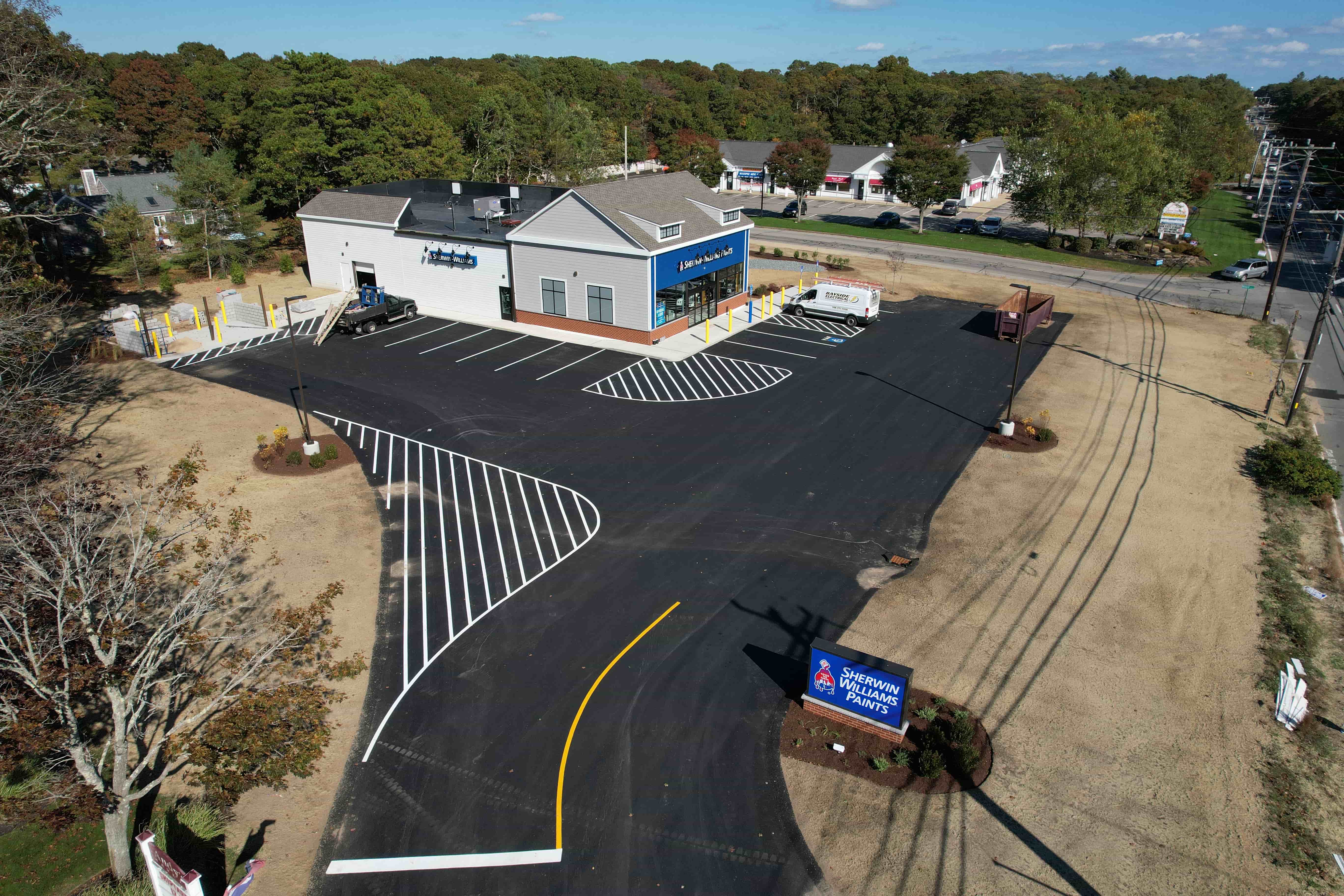
For larger commercial buildings, multi-building campuses, or properties with complex rooflines, drone inspections quickly prove their worth. A single flight covers acres in minutes, producing a site map that would take days to photograph from the ground. The structured output also integrates with facility management software, making it easier to share with contractors, insurers, or lenders.
National Drone Services provides a platform that processes and organizes this aerial imagery into accessible client portals. Instead of emailing large files, you get a single login where all inspection data lives. You can view a 360 panorama of the roof, zoom into a specific maintenance issue, and compare it to the previous inspection date side by side. The system keeps everything tied to the correct site map, so there is no ambiguity about location or timing.
Another advantage is the ability to create baseline documentation. When a new property is acquired or a roof is replaced, a drone flight captures the initial condition with precision. Any future damage or deterioration can be measured against that baseline. This kind of photo evidence is far more reliable than a folder of random shots taken by different people at different times.
Drone imagery also supports better communication with stakeholders. A contractor can see the exact area that needs repair before arriving on site. An insurance adjuster can review the roof condition remotely and make decisions faster. The structured format means everyone works from the same set of facts, reducing back-and-forth and misunderstandings.
Making the Choice for Your Property
The decision between aerial property drone inspections and scattered photo collections depends on the scale and complexity of your site. If you manage a single small building with a simple roof and minimal equipment, a camera and a ladder may be sufficient. But as the number of buildings grows, or as the roof becomes harder to access, the structured approach becomes more efficient.
Consider how often you need to inspect. If you do a full roof review once a year, drone flights give you a consistent record that you can compare year after year. If you inspect monthly for a lease or insurance requirement, the speed of a drone flight reduces the time spent on each walkthrough. In both cases, the organized output saves time when you need to retrieve a specific image or prove when a condition existed.
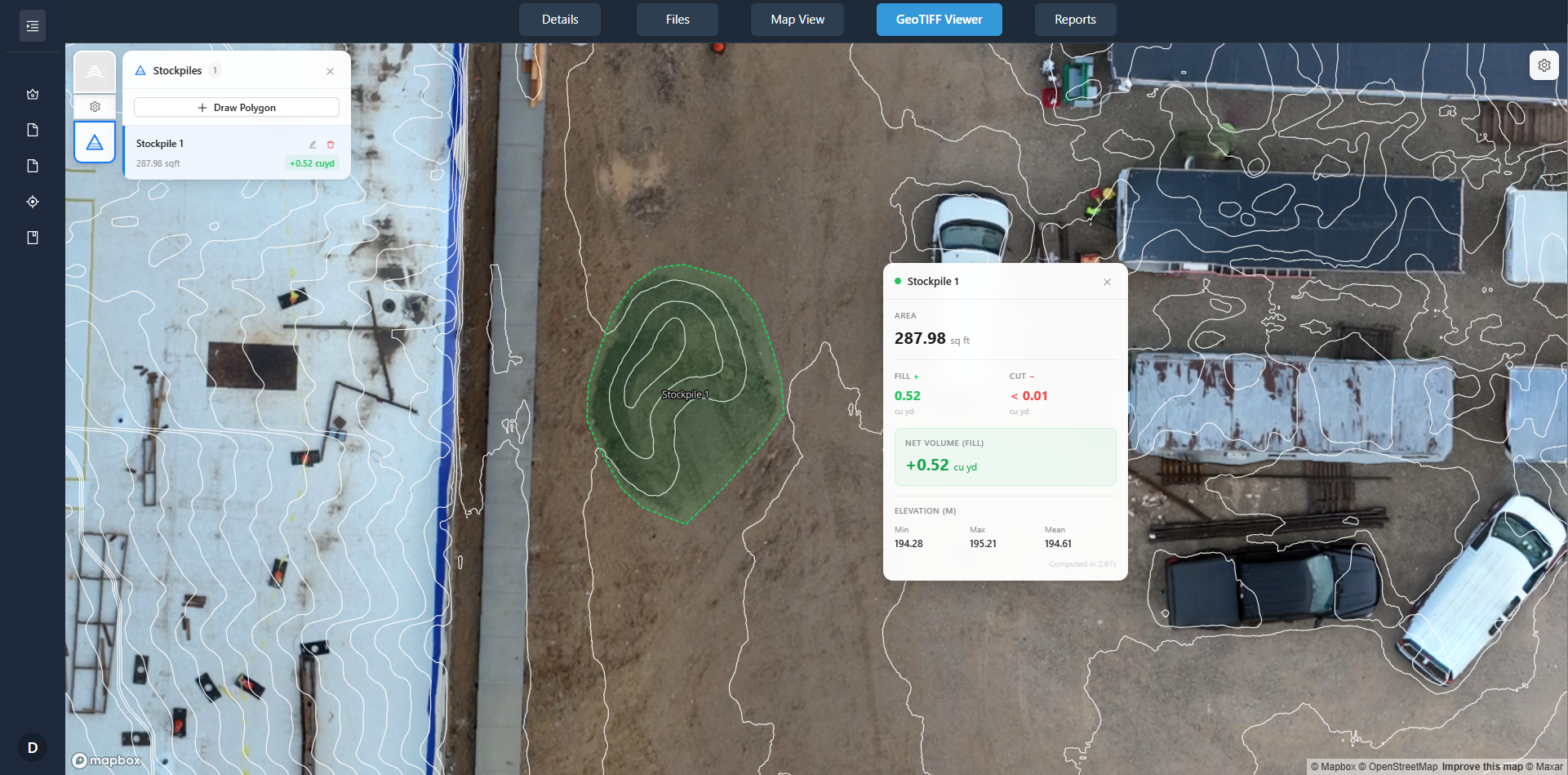
Also think about who needs the data. If you are the only person reviewing the photos, a folder on your desktop might be fine. But if you report to a board, share with a property manager, or send evidence to a lender, the clarity of a site map with labeled inspection dates and clickable areas makes the information accessible to everyone. National Drone Services supports this by delivering organized, searchable data through client portals that keep all stakeholders on the same page.
In the end, both methods have a place. The key is knowing when scattered photos create more work than they save. For properties where consistency, context, and easy comparison matter, aerial drone inspections offer a cleaner, more reliable way to manage facility condition over time.